Home » Information » Chiang Mai Maps
Chiang Mai Maps

Chiang Mai Maps

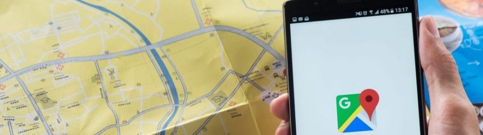
Make sure to check out the many online maps available of Chiang Mai before departing for this historic city.

Familiarising yourself with the city is easy as it can be broken down into two main parts; the old city and everywhere else!

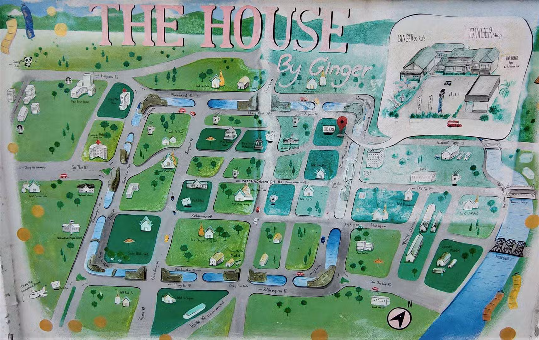
Chiang Mai Old City Sightseeing & Night Bazaar Street Market Maps

Chiang Mai can be navigated on foot, particularly if you are staying in the old city. The old city walls are only 1.5kms long at each length, meaning that you could spend a day quite easily walking around the old city without the need to navigate by car or scooter.

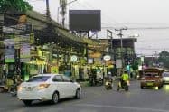
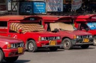
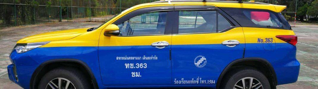
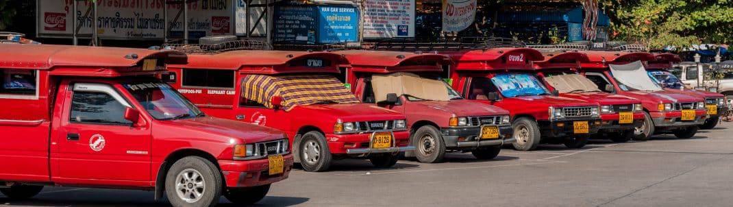
If travelling further out to Nimman, the Night Market or the Zoo are within walking distance, but you may wish to take a Red Truck (Songthaew), Tuk Tuk or hire your own scooter as the distances may be too far (and the weather too hot) to travel by foot. Uber is also available in Chiang Mai and is very cheap and reliable.

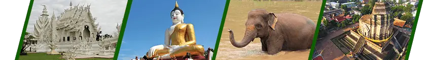
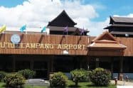
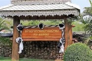
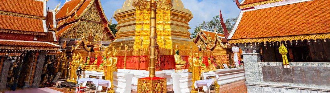
Some of the popular activities to enjoy in Chiang Mai can be reached by taking a car include Doi Suthep, the Night Safari or going to and from the airport.

About the author

Michael Jones

Michael created and runs the Chiang Mai Travel Hub website, as well as the Holiday Point travel brand that incorporates a network of 16 location based travel information and attraction websites around Australia, Asia, and around the world.

With 25+ years of online experience and a passion for travel (having lived in Chiang Mai for several years and has since visited several times), Michael not only researches and writes content for the website, he also tinkers behind the scenes with the website functionality & design.

Please reach out if you have any questions or suggestions.

Do You Have a Question to Ask?

Click Here to Ask a Question

Weather Forecast

CHIANG MAI WEATHER

Upcoming Events